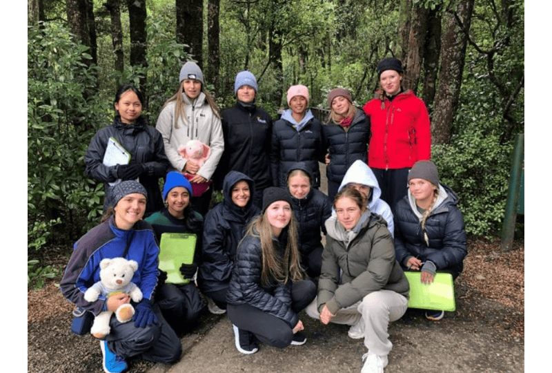
The Year 12 Geographers had an exciting day trip whilst on camp. We circumnavigated the mountains to compare the relief, climate, soil and vegetation in different parts of the Tongariro Volcanic Environment. Actually seeing the places we study as part of our study of a large natural environment, provides a deeper understanding than can be gained through photos and maps alone.
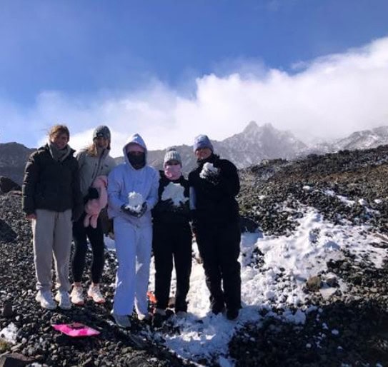
We began the day at the top of Mt Ruapehu at Whakapapa, braving near Antarctic conditions. A fresh dumping of snow overnight was a slight distraction from gathering fieldwork data. Students then collected the same data at the bottom of the mountain to look at differences due to altitude.
The tour (complete with commentary from the tour guide Ms Turanga) then continued around the mountains, stopping on the Desert Rd and at Ohakune to examine the differences between the eastern and western sides of the mountains.
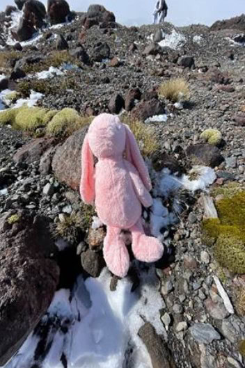
As well as collecting data and making observations, students had a photo treasure hunt to complete by taking a photo of their mascot next to key items like a volcanic rock or tussock.
Amazing students, fantastic staff and parents, great views, and lots of learning.